GEOSPATIAL SURVEY

Professional Survey Services

We specialize in construction layouts, topographical and boundary surveys, subdivision planning, title and boundary mapping, pipelines, oil and gas well locations, unit surveys, digitizing, map preparation, wetlands delineation, and comprehensive mapping services.

More Than Assessments

We Provide Solutions

GeoSpatial Surveys provides comprehensive surveying solutions across the UAE and the Middle East, delivering precise and reliable data for land, construction, and infrastructure projects. With advanced technology and extensive industry expertise, we specialize in topographical surveys, 3D laser scanning, mobile mapping, geotechnical assessments, underground utility detection, and metrology services. Whether you’re buying or selling property, planning a subdivision, constructing buildings, or installing infrastructure, our tailored solutions ensure accuracy, compliance, and efficiency. Committed to excellence, we help clients minimize risks, reduce costs, and make informed decisions with confidence.

Land Surveying & Mapping
  • Topographical Surveys
  • Demarcation / Plot Boundary Marking
  • Initial/Re/Final Demarcation for Trakhees
  • Demarcations for Nakheel
  • Gate Level Computations
  • OGL (Original Ground Level) Survey
  • Underground Utility Survey
  • Excavation Quantity Calculations
  • Industrial Applications
  • Volume Calculations
  • Infrastructure Applications
  • Architecture Applications
  • Archaeological/Heritage
  • Energy
  • Registered Point Cloud
  • 3D CAD Models
  • 3D Mesh Models
  • BIM Models
  • 2D CAD Documentation
  • Plant Design Models
  • Orthophotos
  • Deformation Surveys
  • Volume Survey
  • Clash Detection
  • 3D Virtual Reality
  • Panoramic Images
  • Leica TruView
  • As-Built Survey of Existing Buildings
  • Produce Floor Plan Drawings
  • Produce Sectional Drawings
  • Produce Elevation Drawings
  • Produce Cloud Points
  • Produce 3D Model of the Building
  • BIM Modeling
  • AutoCAD Modeling
  • Locate rebars, tendons, metal
  • Locate plastic conduits, glass-fibre cables, voids etc.
  • Avoid hitting concealed objects when drilling or sawing
  • Checking of rebar and tendon layout (e.g. curvature, density, depth)
  • Inspection of floors, decks, slabs, balconies, etc in structures
  • Detection of voids and cavities

Far far away, behind the word mountains, far from the countries Vokalia and Consonantia, there live the blind texts. Separated they live in Bookmarksgrove right at the coast

 
  • Hydrographic Surveys
  • Dredge Monitoring Survey
  • Volume Calculations
  • Charting & Contouring
  • Positioning Services
  • Pipeline / Cable Route Surveys
  • Seabed Mapping Surveys
  • Side Scan Surveys
  • Sub-Bottom Surveys
  • Magnetometer Surveys
Mobile Mapping
  • Topographical Survey of Bulk / Huge areas
  • Road Survey for thousands of Kilometers
  • 3D Mapping of Large Areas in a shortime
  • Construction Update Survey
  • Mining & Aggregates
  • Solar Energy
  • Infrastructure Inspection
  • Roofing Inspection
  • Agriculture Inspections
  • Urban Planning & Land Management
  • Archaeology
  • Land Survey 
  • Establishment of Construction Benchmarks / Control Points
  • Setting out of Construction Fence
  • Setting out Pile Foundation
  • Pile As-Built Survey
  • Building Boundary Setting out Survey
  • Column Marking, Footing Marking
  • Grid Line Marking
  • As-Built Survey of Existing Structures
  • As-Built Surveys during Construction Stages
  • Verticality Checking
  • Tie Beam level checking
  • All Construction Related Survey Services
  • Geotechnical Investigation (Onshore/Offshore)
  • Chemical & Biological Laboratory
  • Physical & Mechanical Testing
  • Nondestructive Testing Services
  • Environmental Testing
  • Geophysical testing
  • Evaluation of the Existing Structures
  • Geological Mapping
  • Special Test Services
  • Oil Spill Monitoring
  • Supply of Surveyors on Daily / Weekly / Monthly / Yearly basis
  • Supply of Survey Teams (Surveyor with Assistant) on Daily / Weekly / Monthly / Yearly basis
  • Supply of Survey Engineers
  • Supply of Draughtsman
  • Current And Wave Monitoring Surveys
  • Surface Current Measurements
  • Water Sampling and Analysis
  • Channel Demarcations
  • Sediment Sampling And Analysis
  • Ground Water Monitoring
  • Wheather Monitoring And Installations
  • Wheather Buoy Monitoring And Deployments
  • Water Quality Monitoring
  • Tidal Monitoring

land Survey

We specialize in construction layouts, topographical and boundary surveys, subdivision design, pipelines, oil and gas well locations, digitizing, mapping, and wetlands delineation, delivering precise and reliable geospatial solutions for various industries.

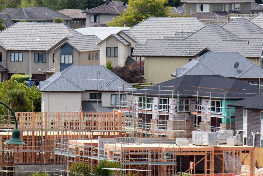
Building Surveying Services

From property acquisition to regulatory compliance, GeoSpatial Surveys delivers precise building surveying services, providing accurate data for property assessments, renovations, and legal documentation. Our expertise ensures informed decision-making based on reliable survey insights.

Construction Survey Services

Before starting a project, it’s crucial to stake out the planned structures or improvements on-site. Our expert land surveyors conduct construction staking and site layout surveys, marking key reference points to align construction plans accurately before breaking ground.

Mobile Mapping?

Mobile Mapping Services efficiently collect 3D geospatial data from moving vehicles on land, sea, or rail. Using vehicle-mounted laser scanners, sensors, and cameras, we capture high-precision data, process it at our headquarters, and deliver accurate mapping solutions.

Aerial / Drone Mapping Solutions

GeoSpatial Surveys’ Mobile Mapping Services (MMS) revolutionize traditional topographical surveys, offering rapid data acquisition and exceptional accuracy. This cutting-edge technology ensures precise mapping results, catering to a variety of applications across industries.

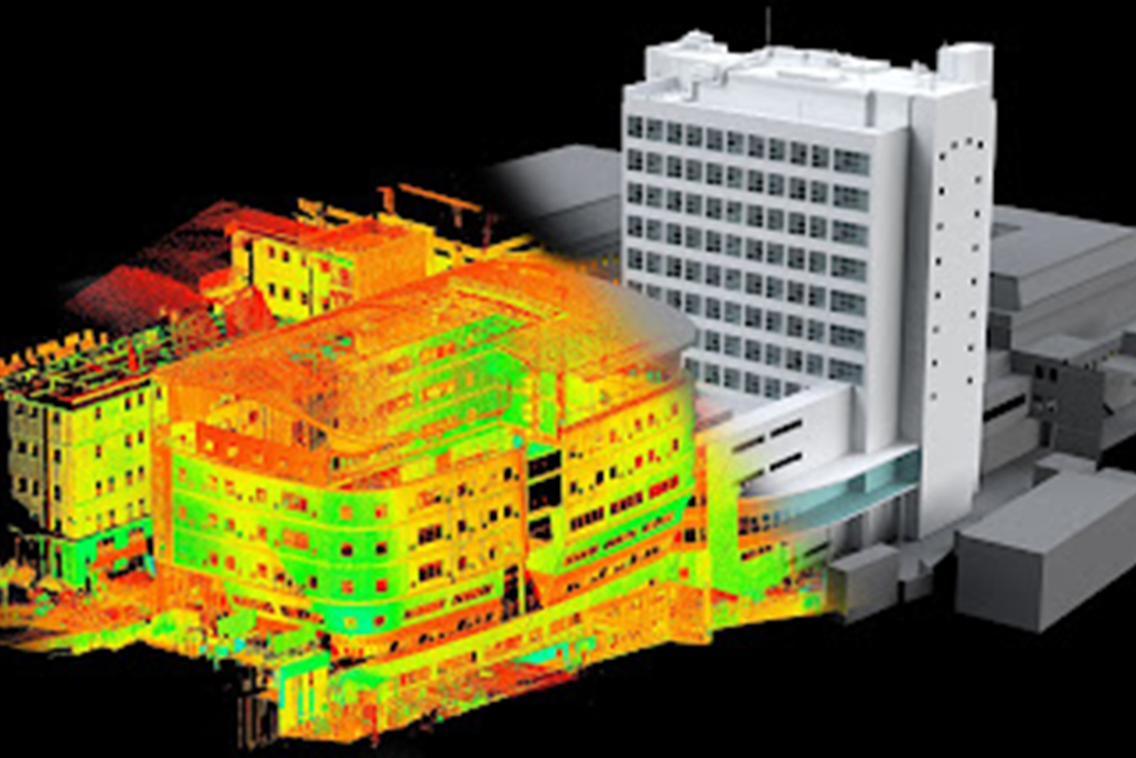
3D Laser Scanning Solutions

As pioneers in 3D Laser Scanning in the U.A.E., GeoSpatial Surveys invests in advanced Leica 3D Laser Scanners to deliver high-quality, precise data. Our solutions ensure efficient, accurate, and safe surveying services for local and international projects.

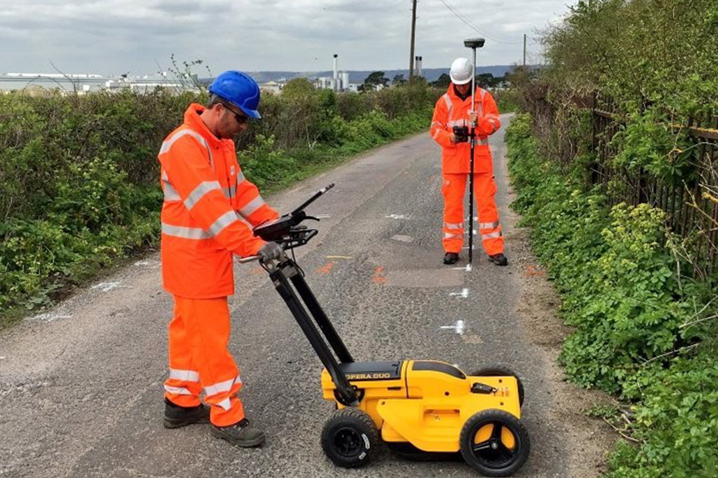
Underground Utility Survey Mapping?

In both design and construction, locating underground utilities is essential. GeoSpatial Surveys provides comprehensive Underground Utility Mapping, Topographical Surveys, and Underground Services, ensuring precise identification of infrastructure above and below ground.

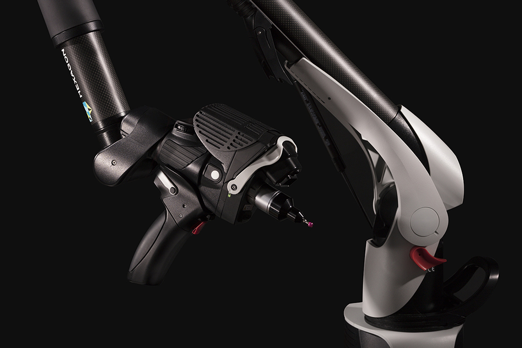
3D Scanning with Metrology

GeoSpatial Surveys leads the industry in 3D Laser Scanning, 3D X-ray Scanning, and Industrial CT Scanning. Our metrology solutions provide high-precision measurements, defect detection, and reverse engineering for manufacturing, product development, and engineering applications.

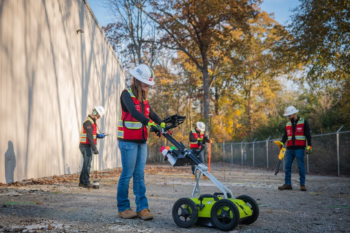
2D / 3D Concrete Scanning

We offer advanced 2D and 3D Ground Penetrating Radar (GPR) for concrete imaging and core cutting across the U.A.E. Our non-destructive testing solutions provide clear, easy-to-interpret images, ensuring structural safety before drilling, sawing, or coring.