
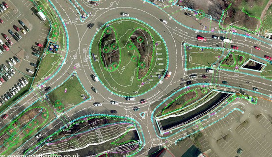
Road Survey
A topographical survey is an accurate depiction of a site which is scaled according to the spatial considerations and is the summary of on-site data
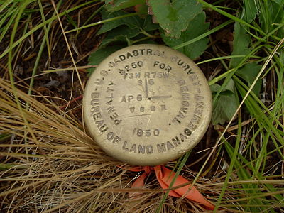
Control Point Establishment
MMS (Mobile Mapping System) is one of the latest surveying technology to measure the object by millions of points per second with centimeter accuracy.

Construction Staking
Steel reinforcement in reinforced concrete structures. With our fast 3D scanners, we can detect the diameter and positioning of reinforcing bars

Volume Survey
We are able to carry out stockpile and volume calculations for either regular updates or one off site visits on stock yards, quarries and construction sites
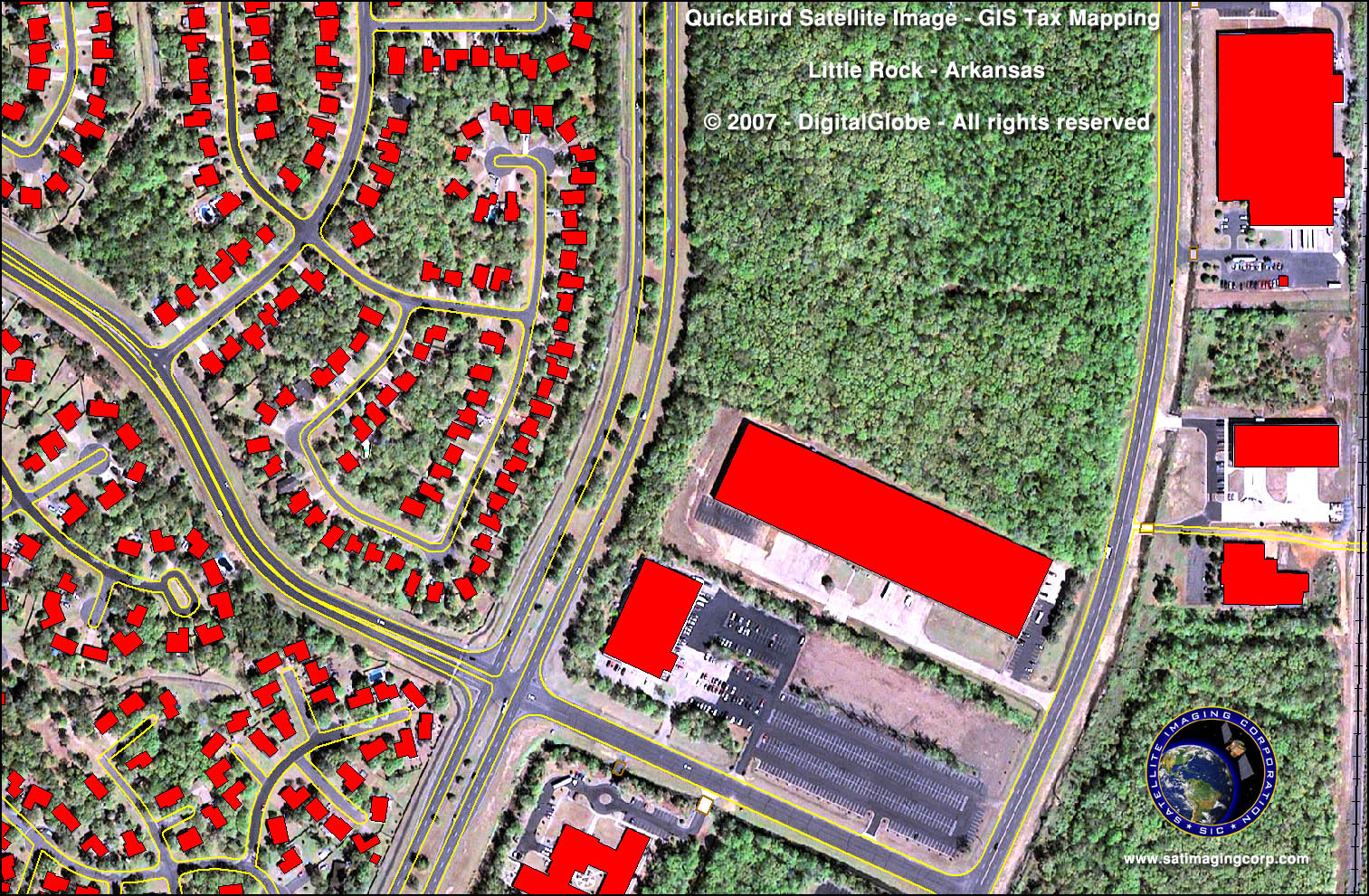
GIS Mapping
MMS (Mobile Mapping System) is one of the latest surveying technology to measure the object by millions of points per second with centimeter accuracy.
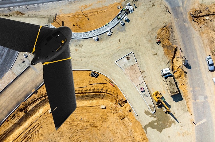
Aerial Survey
Steel reinforcement in reinforced concrete structures. With our fast 3D scanners, we can detect the diameter and positioning of reinforcing bars