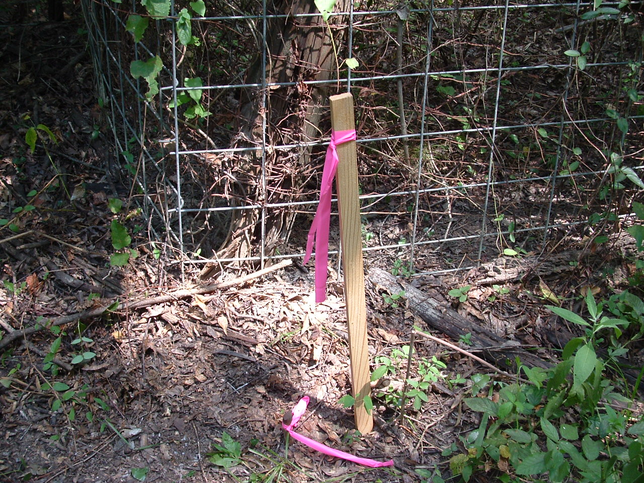
Demarcation of Plot Boundary
By providing the exact marking of your Plot Boundary before the construction work starts, Geospatial Survey’s demarcation of the plot boundary enables you to construct within your plot boundary.
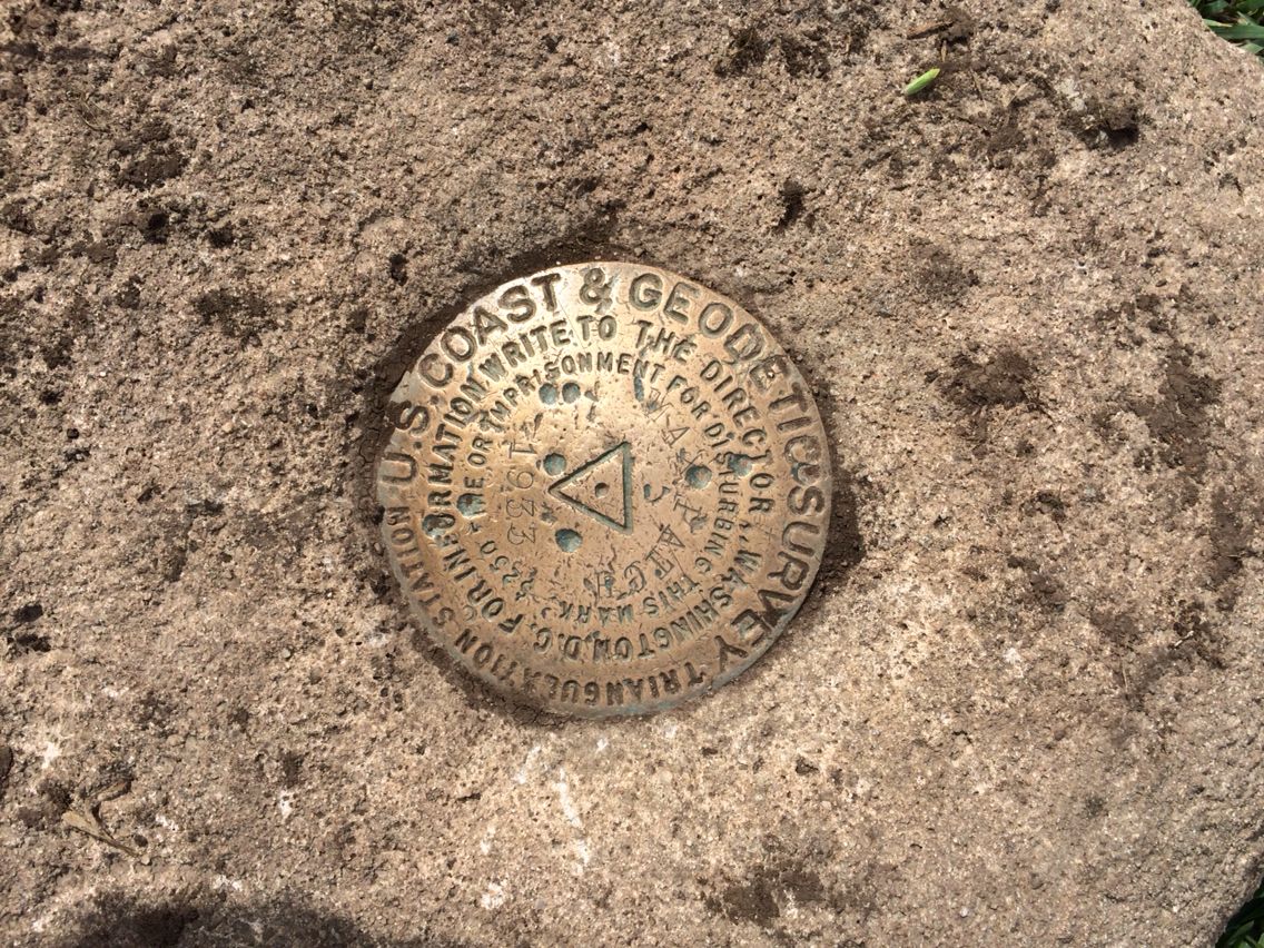
Control Point Establishment
The semi-permanent survey control points secured in black concrete diamonds are benchmarks that are used to align the road/Plot during construction.
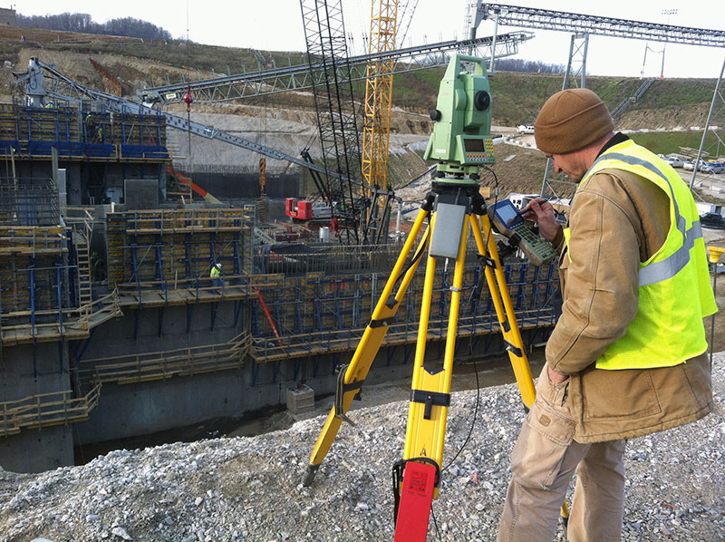
Construction Staking
Our construction staking and layout services include providing accurate survey control of projects that utilize machine guidance or machine guidance.