Aerial / Drone Mapping Solutions
Mobile Mapping Services (MMS) provides cutting-edge capabilities, revolutionizing traditional topographical surveys with faster data acquisition and exceptional accuracy across various applications. MMS ensures precise results in a fraction of the time, catering to diverse needs.
Our modern platforms integrate four advanced technologies working seamlessly together to deliver unparalleled efficiency and accuracy.
Experience the future of surveying with Mobile Mapping Services—reliable, efficient, and precise!
WORK SMART WITH DRONE DATA
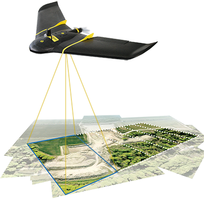
MAP WITHOUT LIMITS
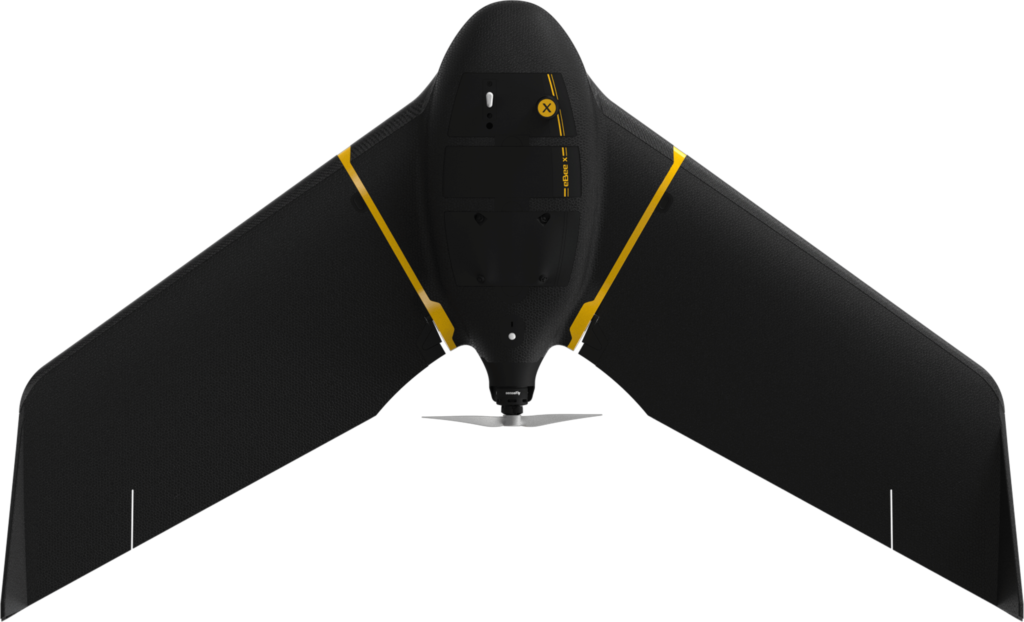
Unmanned Aerial Vehicles (UAVs) such as the Matrix 300 Drones and Ebee X Drone can greatly enhance the efficiency and effectiveness of your projects. By providing easier access and capturing large volumes of highly accurate data in a fraction of the time, UAVs help reduce project costs.
UAVs offer close-up inspections of hard-to-reach structures, rugged terrain, and remote sites, minimizing risks. They also provide real-time project data and accurate side-by-side comparisons, enabling informed decision-making and improving project quality.
Harness the power of UAVs for smarter, safer, and more efficient mapping.
Aerial Topography / Drone Mapping with Largest Water Fountain and Tallest Dancing Jets measured by Drone Inspections.
Who Should Consider This System:
Drone mapping services and 3D modeling have become more cost-effective thanks to the latest drone camera technology. Our fully licensed and insured drone team offers 2D and 3D mapping services, providing efficient and precise results that were once considered uneconomical.
Clients now utilize our Drone Mapping Services to create 3D visualizations, take measurements, and perform volume calculations for large areas. We offer 2D and 3D mapping that can be integrated into various formats, including point clouds for use on clients’ software and CAD systems.
Applications Include:
- Corridor Mapping
- Topographical Survey of Large Areas
- Mining (Volume Calculation)
- Construction Site Monitoring
- Environmental Changes (Time Series)
- Contour Mapping
- Leveling/Excavation
- Archaeology and Cultural Heritage
- Highway Construction
- Digital Terrain Model (DTM)
Experience the power of aerial mapping to enhance your project’s efficiency, accuracy, and cost-effectiveness.