
3D Laser Scanning Solutions
GeoSpatial Surveys is the first to introduce 3D Laser Scanning in the U.A.E. With ongoing investment in Leica 3D Laser Scanners, we deliver accurate, high-quality data quickly and safely, both locally and internationally. Trust us for your advanced surveying needs.
GeoSpatial Surveys: 3D Laser Scanning Survey Services
3D Laser Scanning is quickly becoming the industry norm for precision surveying in high-accuracy, technically demanding environments. As pioneers in adopting Laser Scanning technology, GeoSpatial Surveys stands as one of the most experienced 3D Laser Scanning survey companies in Dubai, UAE, Abu Dhabi, and Sharjah.
Our 3D Laser Scanning Survey Services involve a precise method of capturing detailed 3D data, which allows us to produce 2D drawings, 3D models, ortho-images, and fly-through animations. We pride ourselves on offering a wide array of scanners tailored to each project’s unique requirements, ensuring optimal results for every client.
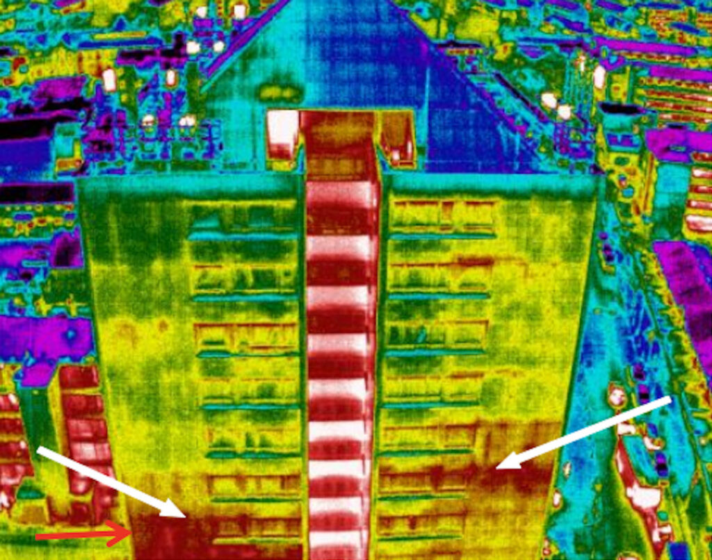
These services are suitable for a vast range of applications. Over the years, we have undertaken numerous scanning projects, including boats, buildings, statues, streets, petrochemical plants, factories, mines, and quarries, to name just a few.
One of the biggest challenges on construction projects is the ability to collect accurate 3D data quickly. During the design phase, we provide precise as-built scans of existing conditions, ensuring that the data you need is accurate, reliable, and delivered on time. GeoSpatial Surveys continues to lead the way in providing innovative and effective survey solutions for any project.
Applications for 3D Laser Scanning Survey Services
Our 3D Laser Scanning Survey Services offer a wide range of applications, providing invaluable data for various industries and projects. Key benefits include:
- Remote Data Capture from Hazardous Sites: Collect data safely from potentially dangerous environments, such as motorways or structurally unsafe buildings, minimizing risks to personnel.
- Fast Data Capture for Critical Sites: Especially beneficial on sites with limited access, such as crime scenes, where time is of the essence. The efficiency of 3D laser scanning allows for quick and accurate data collection.
- Data for Future Investigations: The ability to capture complete data means that further investigations can be conducted later, without the need to revisit the site, saving on both time and costs.
- Cost Reduction in Construction and Field Work: Reduces the costs and downtime associated with construction rework, site revisits, and field changes. This is especially valuable in minimizing disruptions to the overall project timeline.
- Affordable As-Built and Topographic Surveys: Offers a lower-cost alternative to traditional survey methods for as-built and topographic data, making it a budget-friendly option for clients.
- Enhanced Accuracy and Precision: The high level of detail provided by 3D Laser Scanning improves project accuracy, reducing the risks involved in execution and making sure your designs are based on precise data.
- Better Decision-Making and Engineering Design: The highly-detailed data collected by our laser scanning services aids in engineering design and decision-making. Our professionals can assist in creating 3D modeling designs and integrating Building Information Modeling (BIM) for more efficient project planning and execution.